From Space to Soil: How Satellites Are Revolutionizing Farming for Everyone

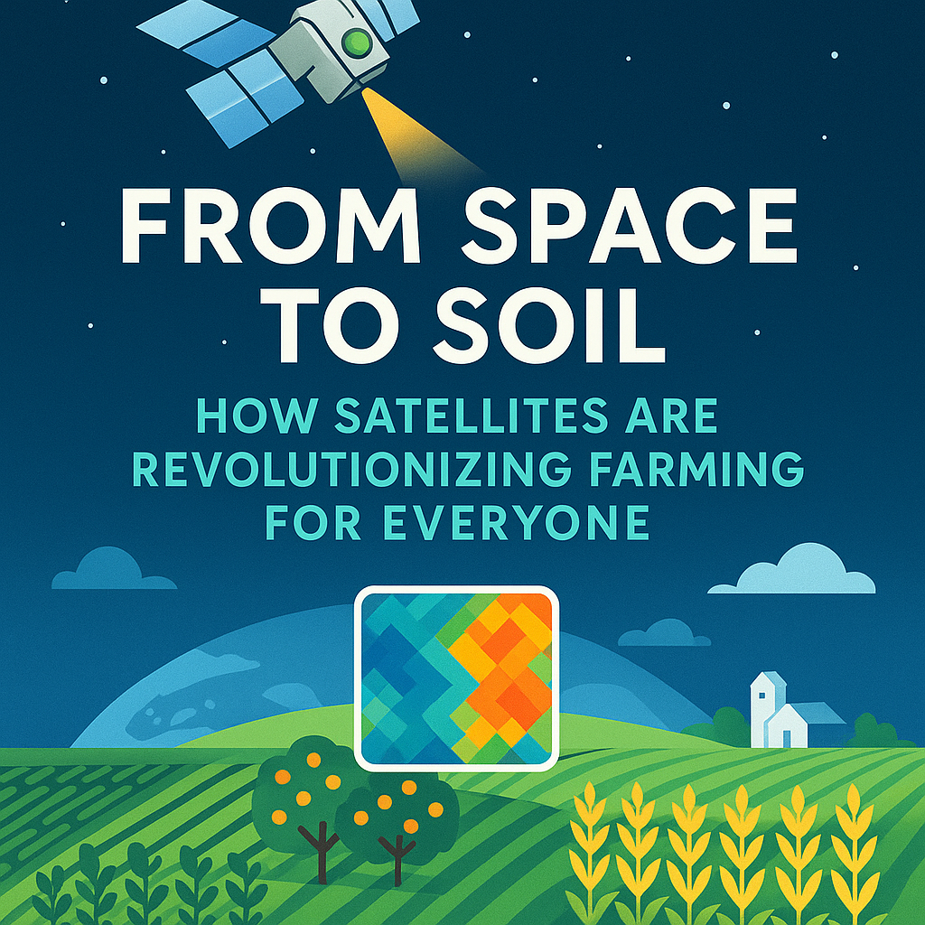
Ever wondered how technology 400 miles above Earth is helping grow the food on your plate? When I tell people that satellites are now essential farming tools, I get puzzled looks. “Aren’t those just for GPS and weather?” they ask. Here’s the reality: Modern agriculture is using space technology to see problems before they happen—and […]

Read More… from From Space to Soil: How Satellites Are Revolutionizing Farming for Everyone

Why Investing in AgriTech Solutions Like Map My Crop is the Future of Farming

Introduction: Embracing AgriTech Amidst Rising Costs and Challenges In today’s fast-evolving agricultural landscape, farmers are grappling with challenges that extend beyond the traditional concerns of crop yield and weather. Global supply chain disruptions, inflation-driven input costs, and climate change are reshaping the farming sector, adding complexities that demand innovative solutions. According to McKinsey’s recent 2022 […]

Read More… from Why Investing in AgriTech Solutions Like Map My Crop is the Future of Farming

Automated Farm Boundary Detection API

Automated Crop Field Boundary or Farm Boundary Detection Introduction: In today’s world, precision agriculture and land use planning require accurate and up-to-date maps of farm boundaries. Traditional farm boundary delineation has been a time-consuming and expensive manual process. However, with the advent of remote sensing technologies, such as satellite imagery and aerial photography, it is […]

Read More… from Automated Farm Boundary Detection API