11 Enterprise Products. One Unified Platform.
Each product works standalone — deploy one deploy one and get immediate value. Deploy together and unlock compounding intelligence powered by 300+ data points per farm, every minute and 3,000+ proprietary AI models.
Like Google Workspace — but for every farm on Earth.
Google didn’t build 11 separate tools. They built one intelligence layer where Docs, Sheets, and Drive amplify each other. MapMyCrop is the same: your boundary data makes crop monitoring smarter, monitoring makes yield predictions more accurate, and predictions power risk scores. Start with one product. Add more. Watch intelligence compound.
Farm Foundation
The essential data layer digitise, classify, and continuously monitor every field. The base every other product builds on.
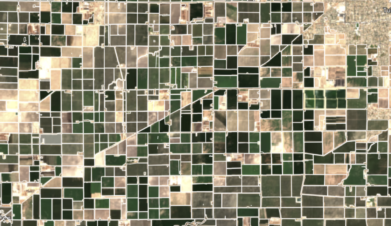
Satellite AI maps every field boundary no surveyors, no field visits. The foundational data layer that powers every other product in the suite.
- 97% boundary accuracy across 80+ countries
- Sub-meter precision from multi-satellite fusion
- Batch process 10,000+ fields in hours
- Subsidy verification & insurance at scale
Satellite AI maps every field boundary no surveyors, no field visits. The foundational data layer that powers every other product in the suite.
- 97% boundary accuracy across 80+ countries
- Sub-meter precision from multi-satellite fusion
- Batch process 10,000+ fields in hours
- Subsidy verification & insurance at scale
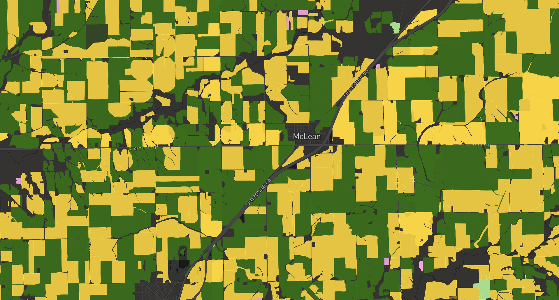
AI identifies what’s growing in every field using multi-spectral satellite analysis 150+ crop types, anywhere in the world. Verify claims, map supply chains, power lending.
- 150+ crop types identified from satellite imagery
- Multi-season temporal signatures for accuracy
- Government subsidy & insurance verification
- Supply chain sourcing intelligence
AI identifies what’s growing in every field using multi-spectral satellite analysis 150+ crop types, anywhere in the world. Verify claims, map supply chains, power lending.
- 150+ crop types identified from satellite imagery
- Multi-season temporal signatures for accuracy
- Government subsidy & insurance verification
- Supply chain sourcing intelligence
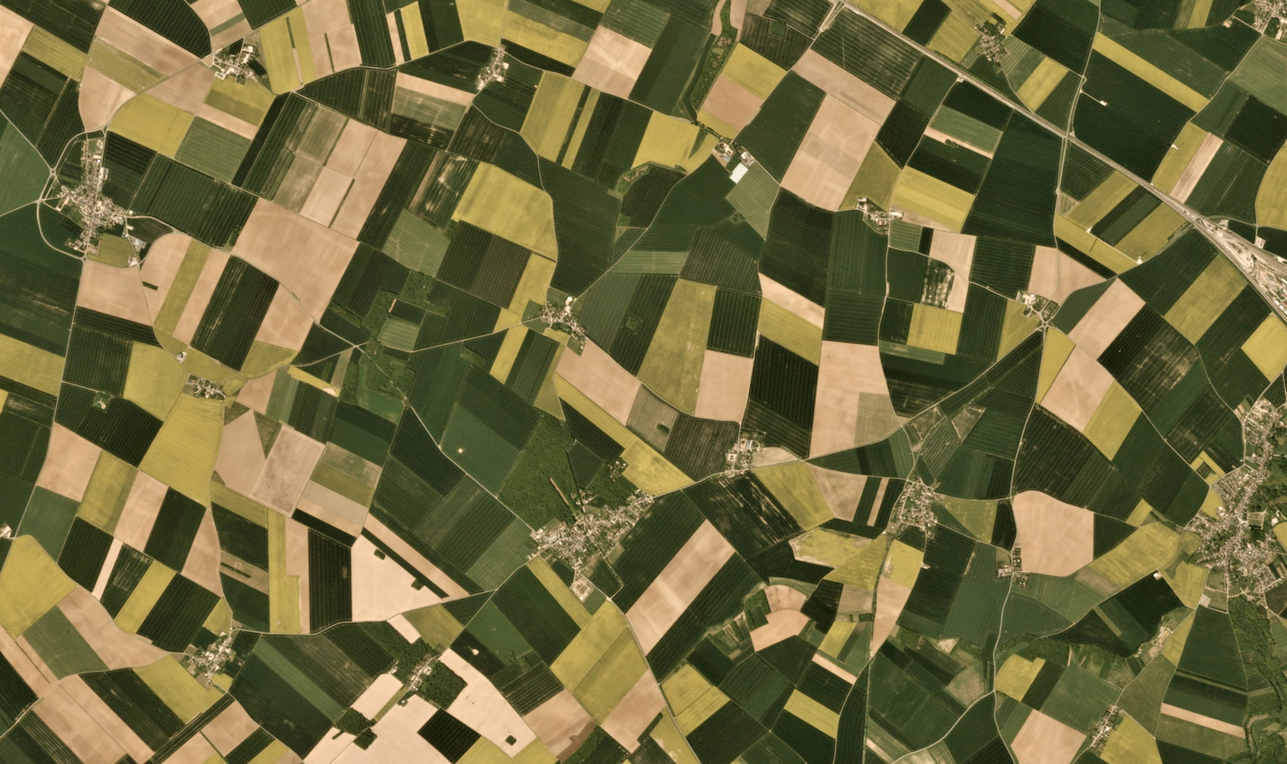
24/7 satellite crop health surveillance. Detect disease, stress, and nutrient deficiency 7-14 days before visible symptoms — time to intervene before losses occur.
- 20+ vegetation indices (NDVI, NDWI, SAVI, EVI)
- Daily 13m resolution health maps
- Early stress alerts 7-14 days ahead of symptoms
- 12-year historical trend analysis
24/7 satellite crop health surveillance. Detect disease, stress, and nutrient deficiency 7-14 days before visible symptoms — time to intervene before losses occur.
- 20+ vegetation indices (NDVI, NDWI, SAVI, EVI)
- Daily 13m resolution health maps
- Early stress alerts 7-14 days ahead of symptoms
- 12-year historical trend analysis
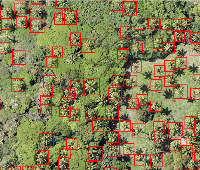
Individual tree health scoring for orchards, plantations, and agroforestry. Per-tree canopy intelligence the resolution field-level monitoring simply can’t match.
- Per-tree canopy health scoring
- Year-on-year canopy change detection
- Orchard & plantation yield optimisation maps
- Tree count validation for insurance & finance
Individual tree health scoring for orchards, plantations, and agroforestry. Per-tree canopy intelligence the resolution field-level monitoring simply can’t match.
- Per-tree canopy health scoring
- Year-on-year canopy change detection
- Orchard & plantation yield optimisation maps
- Tree count validation for insurance & finance
Smart Operations
Precision intelligence and predictive analytics to optimise every field-level and portfolio decision
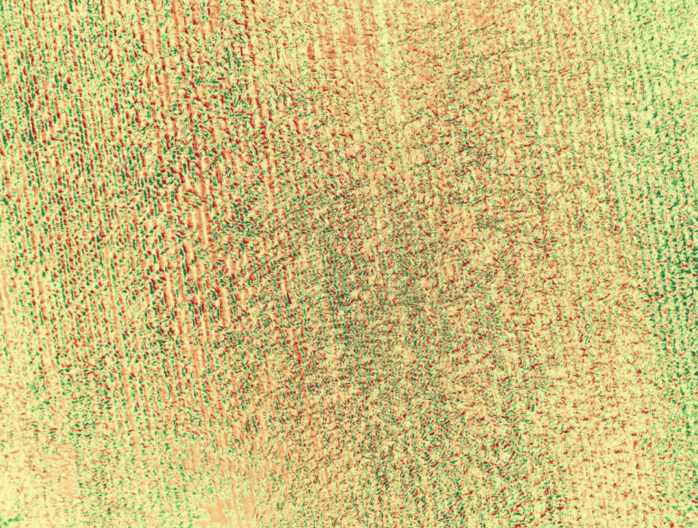
Sub-meter precision from drone imagery fused with satellite data. When satellite resolution isn’t enough, drone data fills the gap — giving the most accurate field intelligence available.
- Sub-meter detection resolution (<1m)
- Drone + satellite fusion for gap-free coverage
- Automated flight-to-insight analytics pipeline
- Multispectral, RGB, and thermal drone support
Sub-meter precision from drone imagery fused with satellite data. When satellite resolution isn’t enough, drone data fills the gap — giving the most accurate field intelligence available.
- Sub-meter detection resolution (<1m)
- Drone + satellite fusion for gap-free coverage
- Automated flight-to-insight analytics pipeline
- Multispectral, RGB, and thermal drone support
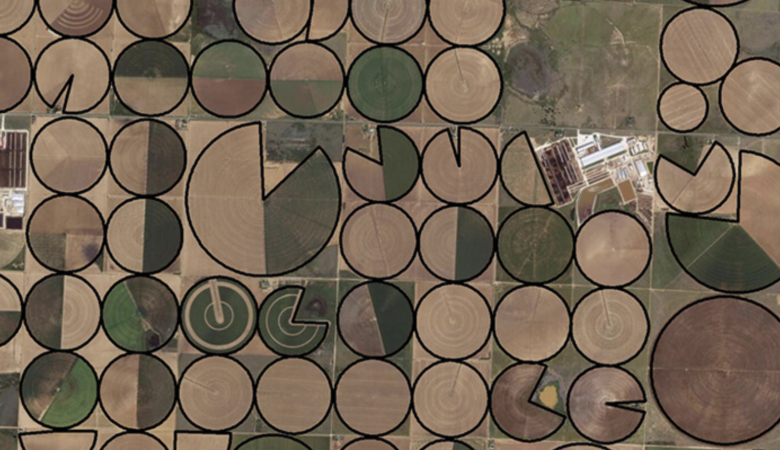
AI-powered detection for disease outbreaks, pest pressure, and crop damage with satellite-verified evidence trails for insurance claims, legal disputes, and government assessments.
- Disease identification in under 5 seconds
- 40+ disease & pest signatures detected
- Geo-timestamped evidence for insurance claims
- Outbreak spread modelling & containment maps
AI-powered detection for disease outbreaks, pest pressure, and crop damage with satellite-verified evidence trails for insurance claims, legal disputes, and government assessments.
- Disease identification in under 5 seconds
- 40+ disease & pest signatures detected
- Geo-timestamped evidence for insurance claims
- Outbreak spread modelling & containment maps
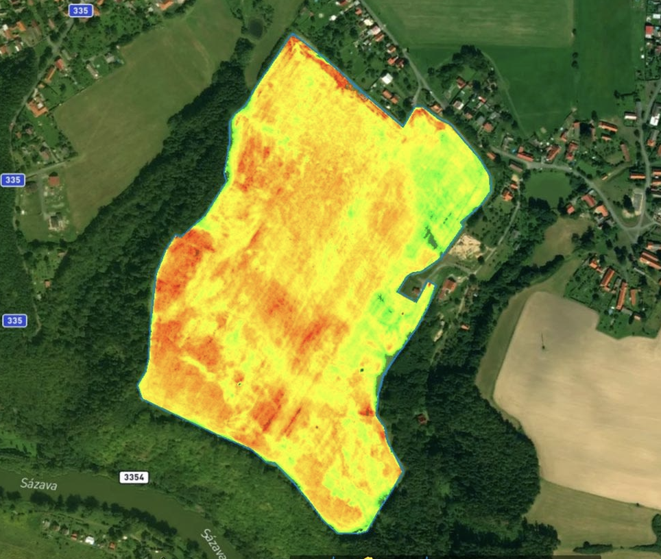
Satellite-driven yield forecasting with 90% accuracy up to 3 months ahead. Plan procurement, logistics, and commodity positions before the competition knows what’s coming.
- 90% accurate yield forecasts, 3 months out
- Harvest readiness windows + logistics planning
- Commodity price risk + market timing alerts
- Quality prediction (protein, sugar content proxies)
Satellite-driven yield forecasting with 90% accuracy up to 3 months ahead. Plan procurement, logistics, and commodity positions before the competition knows what’s coming.
- 90% accurate yield forecasts, 3 months out
- Harvest readiness windows + logistics planning
- Commodity price risk + market timing alerts
- Quality prediction (protein, sugar content proxies)
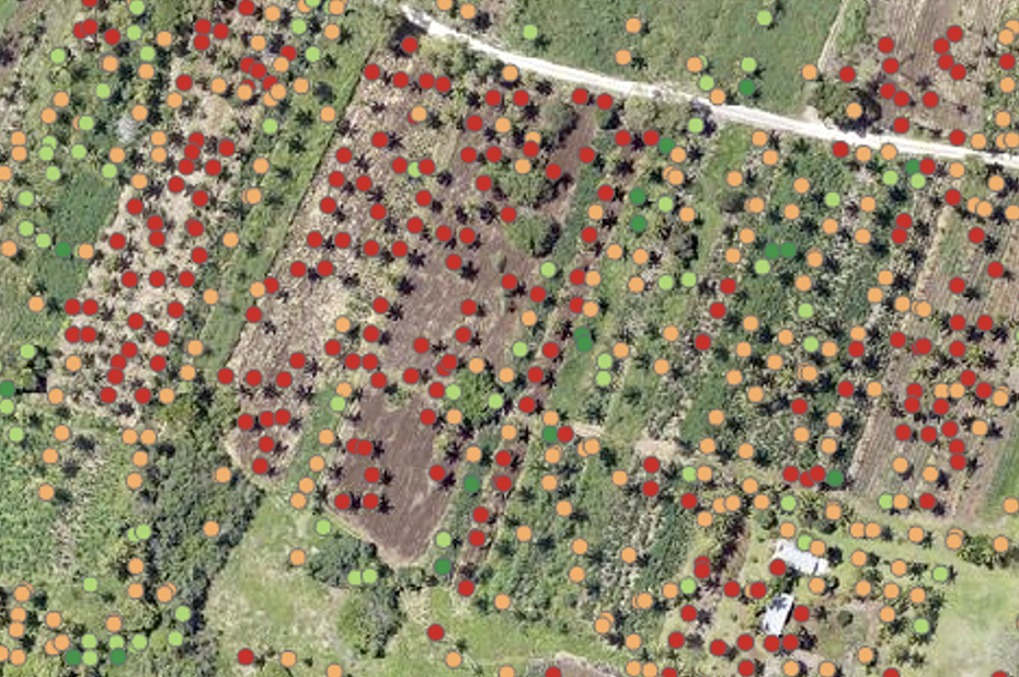
Real-time deforestation detection, carbon sequestration tracking, and full EUDR compliance reporting for enterprises with global supply chain forest exposure.
- Real-time deforestation & encroachment alerts
- Carbon stock estimation & MRV reports
- EUDR, REDD+, voluntary carbon market support
- Supply chain deforestation risk scoring
Real-time deforestation detection, carbon sequestration tracking, and full EUDR compliance reporting for enterprises with global supply chain forest exposure.
- Real-time deforestation & encroachment alerts
- Carbon stock estimation & MRV reports
- EUDR, REDD+, voluntary carbon market support
- Supply chain deforestation risk scoring
Command Center
Strategic intelligence for resource optimisation, ESG reporting, and agricultural financial risk management
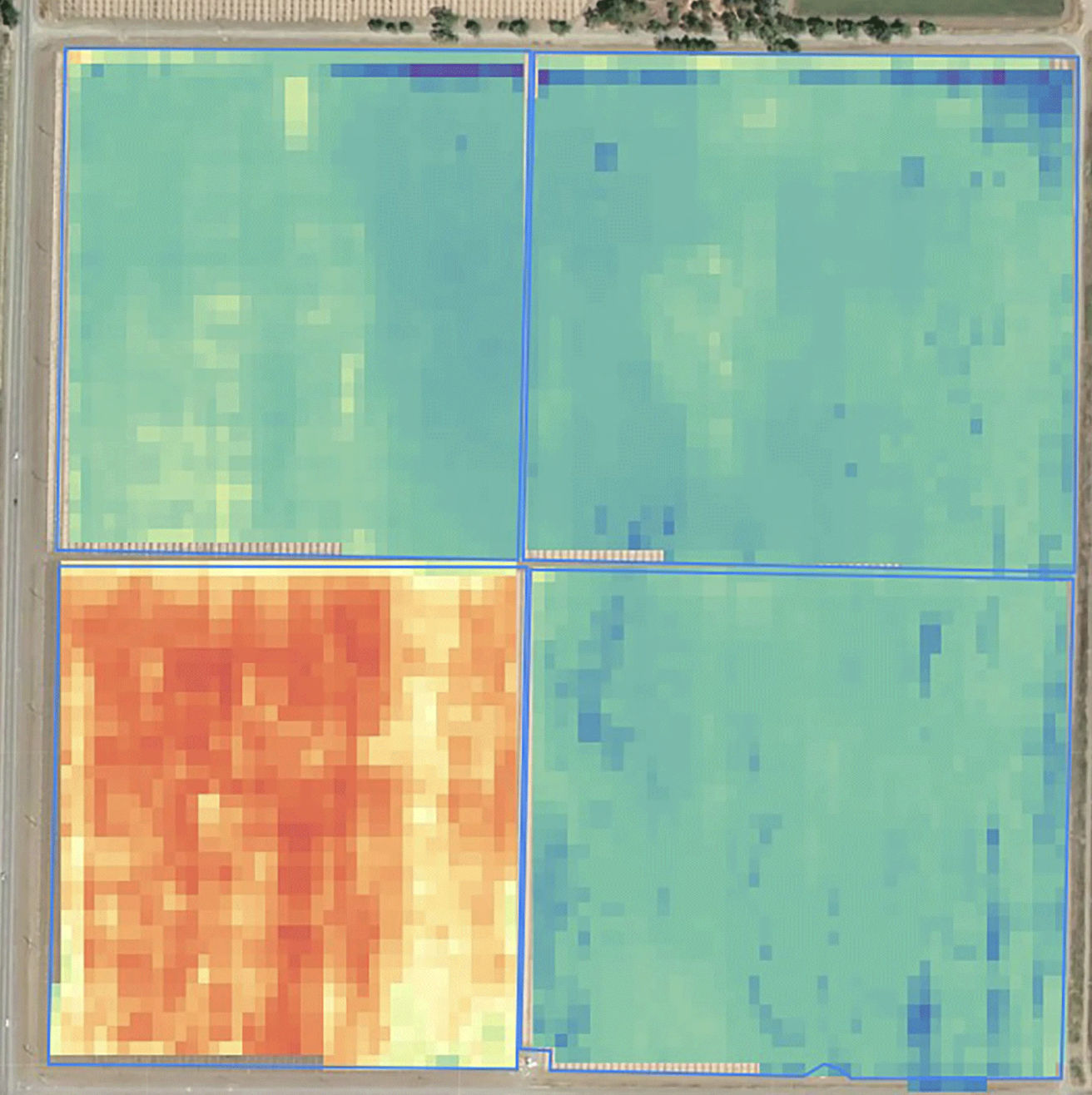
AI-modelled irrigation scheduling that reduces water consumption by 20% while protecting yield. Daily satellite soil moisture maps fused with IoT sensors for precision zone scheduling.
- 20% average water reduction proven across trials
- Zone-specific ET, soil moisture, and stress maps
- IoT sensor + satellite + weather data fusion
- Drip, sprinkler, flood irrigation scheduling
AI-modelled irrigation scheduling that reduces water consumption by 20% while protecting yield. Daily satellite soil moisture maps fused with IoT sensors for precision zone scheduling.
- 20% average water reduction proven across trials
- Zone-specific ET, soil moisture, and stress maps
- IoT sensor + satellite + weather data fusion
- Drip, sprinkler, flood irrigation scheduling
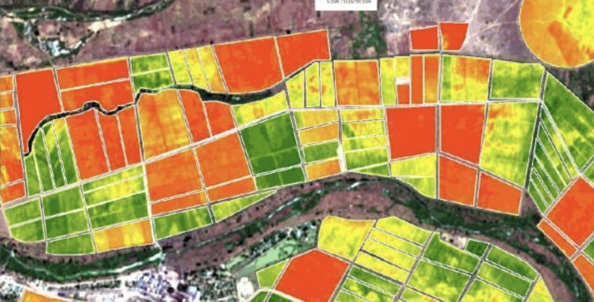
Full ESG intelligence for enterprise agri-businesses satellite-verified carbon footprint tracking, sustainability KPI dashboards, and investor-grade reporting. Prove your claims with data.
- Carbon footprint measurement per field, per crop
- ESG score & 30+ sustainability KPI dashboards
- Investor & regulatory grade report generation
- GHG emissions tracking across supply chains
Full ESG intelligence for enterprise agri-businesses satellite-verified carbon footprint tracking, sustainability KPI dashboards, and investor-grade reporting. Prove your claims with data.
- Carbon footprint measurement per field, per crop
- ESG score & 30+ sustainability KPI dashboards
- Investor & regulatory grade report generation
- GHG emissions tracking across supply chains
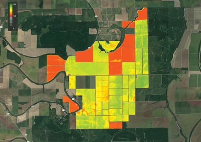
Real-time agricultural risk scoring for lenders, insurers, and agri-finance. Powered by live satellite monitoring + all 10 other products 30% better default prediction than industry standard.
- 30% improvement in loan default prediction
- Real-time portfolio risk dashboard — millions of acres
- Satellite-verified claim validation & fraud detection
- Draws live data from all 10 other products
Real-time agricultural risk scoring for lenders, insurers, and agri-finance. Powered by live satellite monitoring + all 10 other products 30% better default prediction than industry standard.
- 30% improvement in loan default prediction
- Real-time portfolio risk dashboard — millions of acres
- Satellite-verified claim validation & fraud detection
- Draws live data from all 10 other products
300+ data points per farm, every single minute.
Behind every product is a shared intelligence engine trained on 12 years of agricultural satellite imagery — the deepest agricultural AI training dataset in existence. From disease detection to water stress, every signal feeds back and makes the engine smarter.
Explore Api DocumentationDeploy One Product. Or All Eleven.
Every product delivers standalone ROI from day one. Combine them to unlock intelligence that compounds across your entire operation.
Standalone Use Cases
One product. Immediate value. No dependencies.
Combined Suite Power
Multiple products. Compounding intelligence.
Ready for 360° Agro Intelligence?
Start with one product or activate the full suite. Our solutions team will build the right configuration for your exact use case.